Hiking Moro Rock is the pinnacle of a visit to Sequoia National Park. In reality, you can enjoy the views of the signature monolith on your way up to the Giant Forest. But only hiking to the top of Moro Rock allows you to truly appreciate the magnitude, significance, and beauty of the place.
Last updated: March 6, 2026

A Complete Guide to Hiking Moro Rock in Sequoia National Park
Moro Rock is a dome-shaped granite monolith in Sequoia National Park. It’s located in the heart of the park between the Giant Forest and Crescent Meadow. Such a convenient location allows the visitors, hiking between the forest and the meadow, to deviate from their route and check out the Moro Rock Trail along the way. The majority of the park’s guests, though, skip all other hiking trails and start their ascent right at the bottom of Moro Rock.
About Moro Rock
According to Atlas Obscura, the famous rock formation was named after a roan-colored mustang of one of the residents of Three Rivers. The animal, whose name was Moro, was often rushing around and under the rock ledger of the monolith. Eventually, people started calling the place Moro’s Rock.
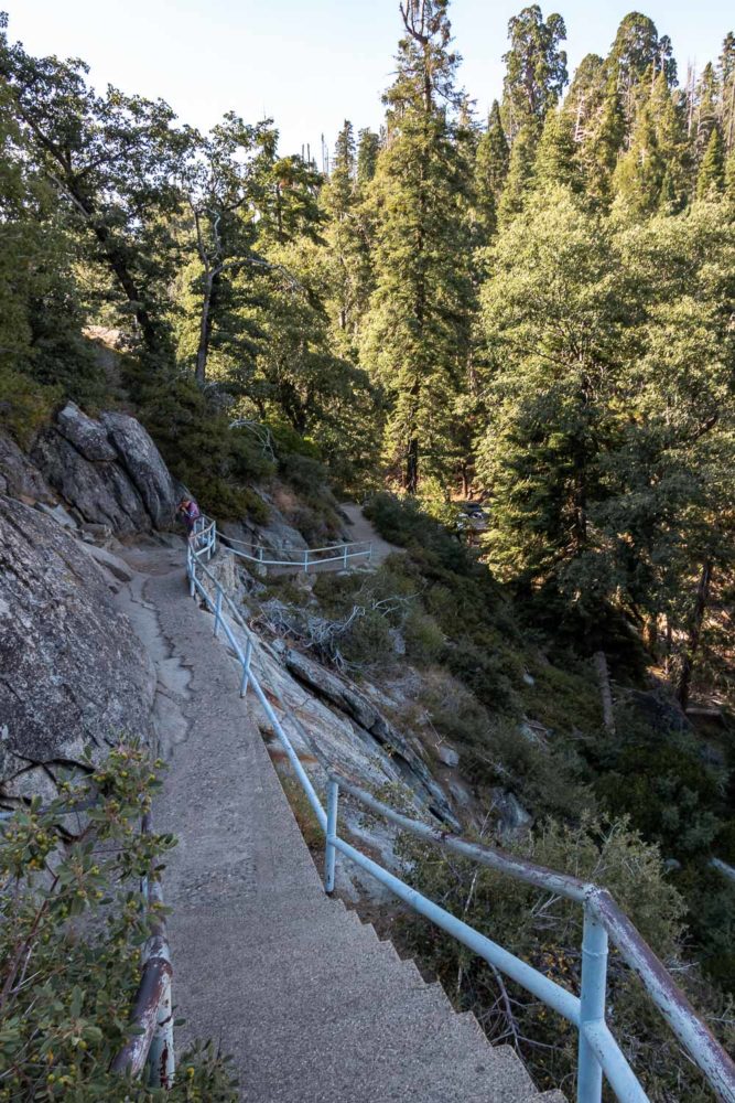
Hiking to the summit of Moro Rock, however, was impossible until the early 20th century. The first stairway was installed only in 1917. The wooden structure, however, didn’t last long. By the late 1920s, it needed serious repairs. In 1931, a 797-foot-long stone Moro Rock stairway replaced the wooden structure, making hiking to the summit safer and more convenient.
How to Get to Moro Rock
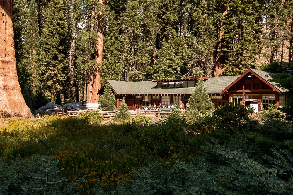
The best place to start hiking to the top of Moro Rock is near a parking lot at the base of the monolith. You can reach this area by car. The Moro Rock parking lot is located just 1.5 miles away from the Giant Forest Museum along the Generals Highway.
TIP: If you plan to hike to the summit of Moro Rock in the morning, be sure to do it before 10:00 a.m. Since the parking area has only 18 spots available, you might have issues finding an open spot later in the afternoon.
You don’t need to worry about the parking situation in summer, though. Leave your car at a larger parking lot near the Giant Forest Museum and use a free shuttle that takes you straight to Moro Rock. The shuttle operates from 8:00 a.m. until 6:00 p.m. For further updates, check the National Park Service’s website.
TIP: Read our article Things to Know Before Visiting Sequoia National Park to learn more about what to do and expect at the park.
Hiking the Moro Rock Stairway
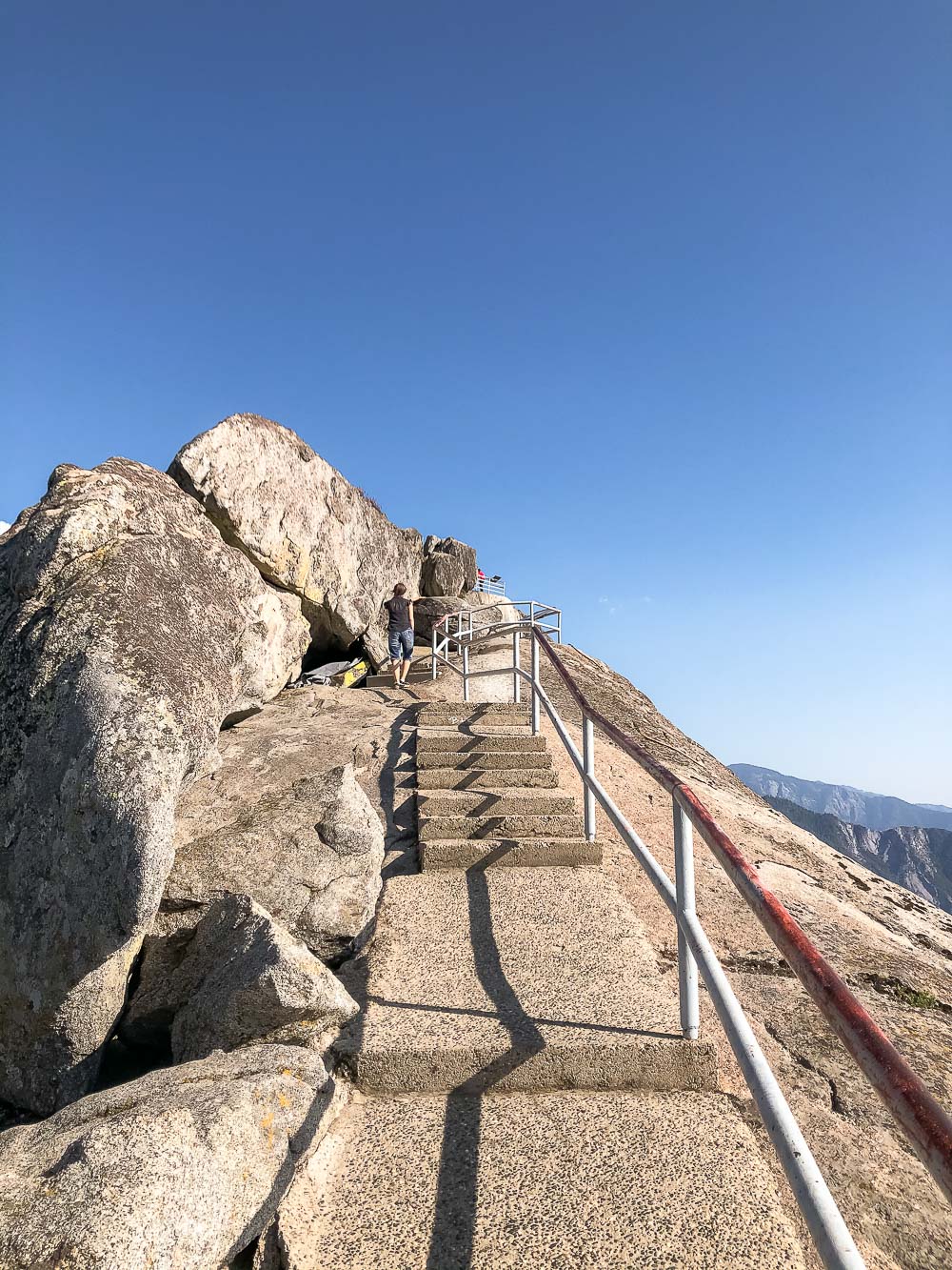
The Moro Rock Stairway is one of the most popular hiking trails in Sequoia National Park and one of the most irresistible outdoor adventures in California. The hike starts at the base of the monolith. From here, you need to climb 350 steep steps to reach the summit with the panoramic views of the park.
Moro Rock rises 6,725 feet above sea level, but you climb only the last 300 feet. Although the hike is short, going up the stairs at this elevation can be difficult. On average, plan for about 45 minutes to go up and down Moro Rock.
The staircase is narrow. In several places, it allows only one person to go through. There are a few viewing platforms to catch your breath while making your way up the stairs. But even these stops let you admire the astounding surroundings and inspire you to climb farther up.
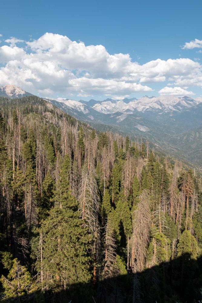
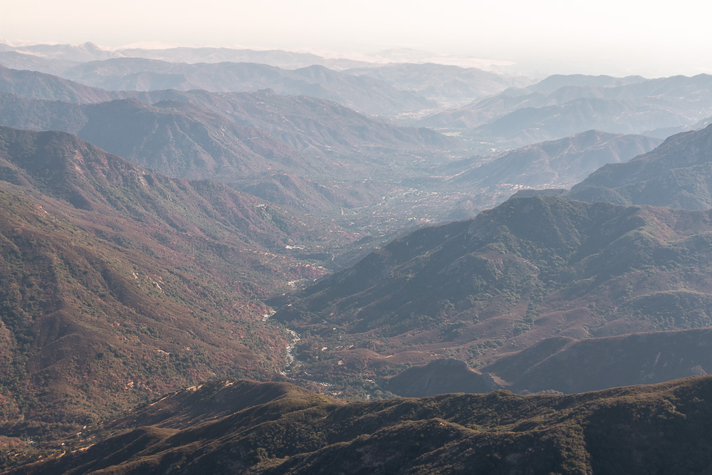
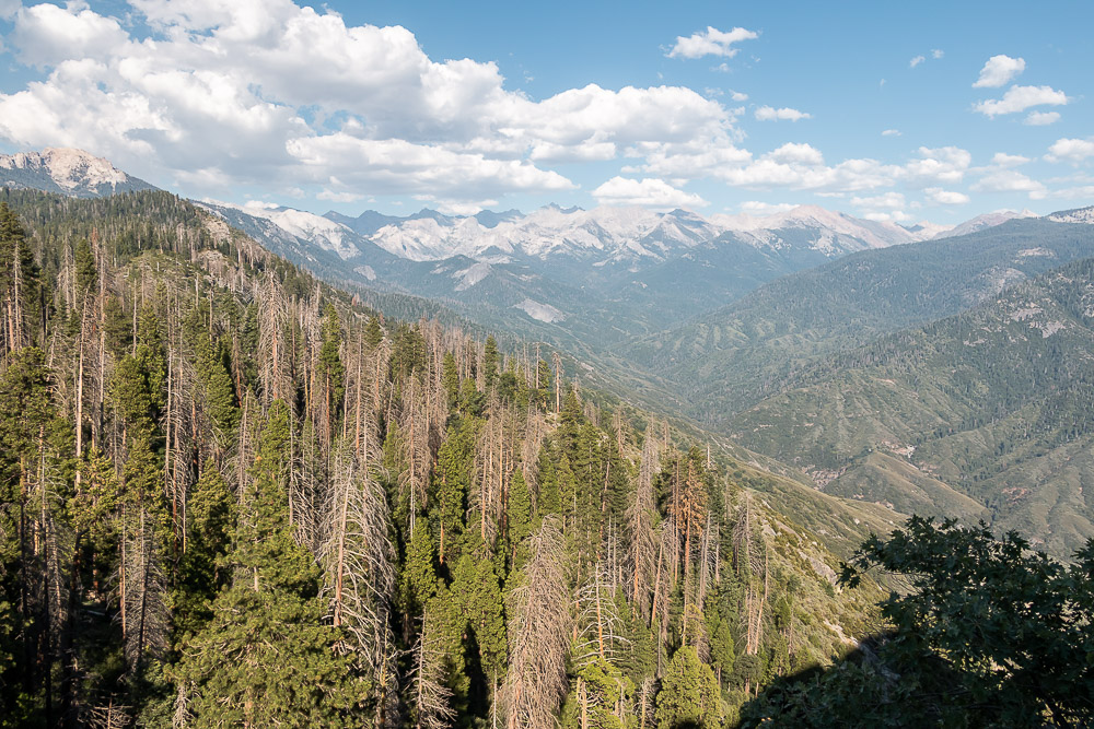
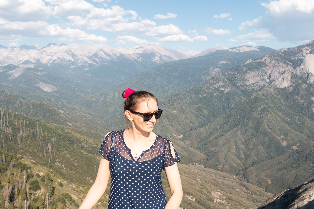
Once at the summit, you can feast your eyes on the Great Western Divide and a canyon carved by the Middle Fork of the Kaweah River. Hiking to the top of Moro Rock is not allowed when the stairs are covered with snow and ice.
Hiking Moro Rock Trail
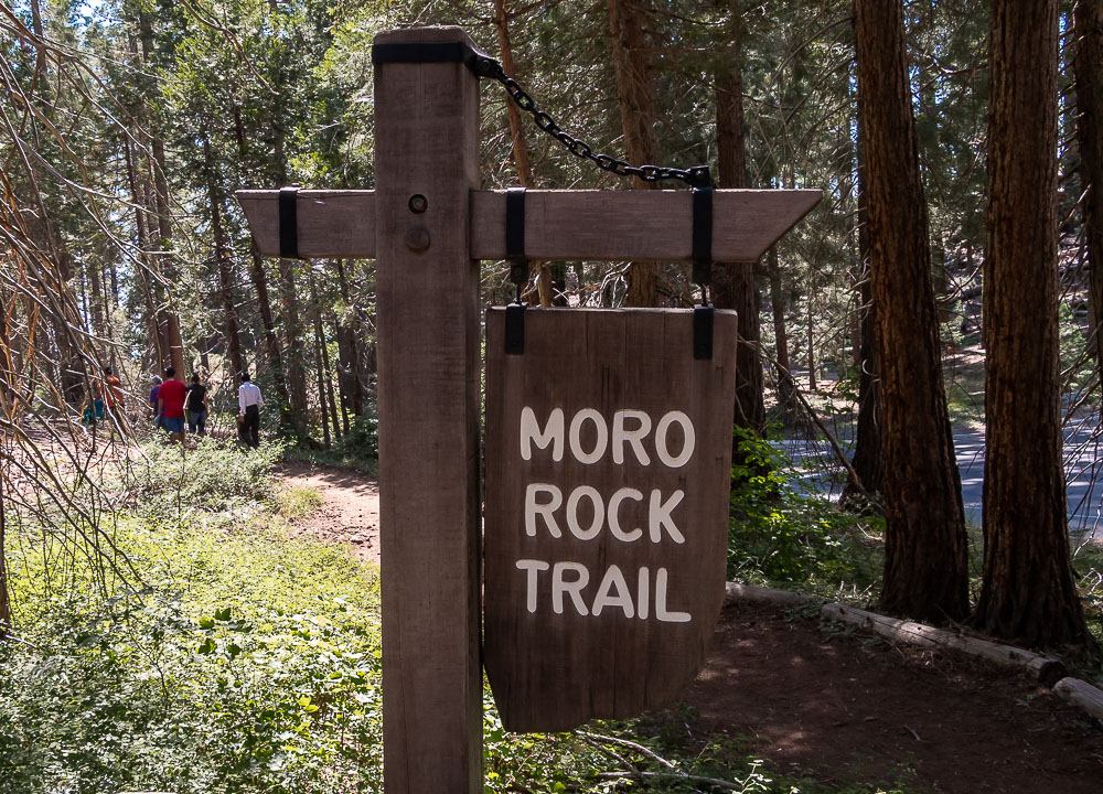
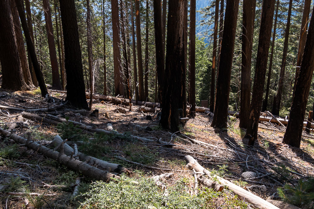
The 1.5-mile Moro Rock Trail offers a chance to hike through the woods of Sequoia National Park before climbing up the stairway. The trailhead is located across the road, to the right of the Giant Forest Museum. If you feel lost, look for a big wooden sign with Moro Rock Trail to guide you in the right direction.
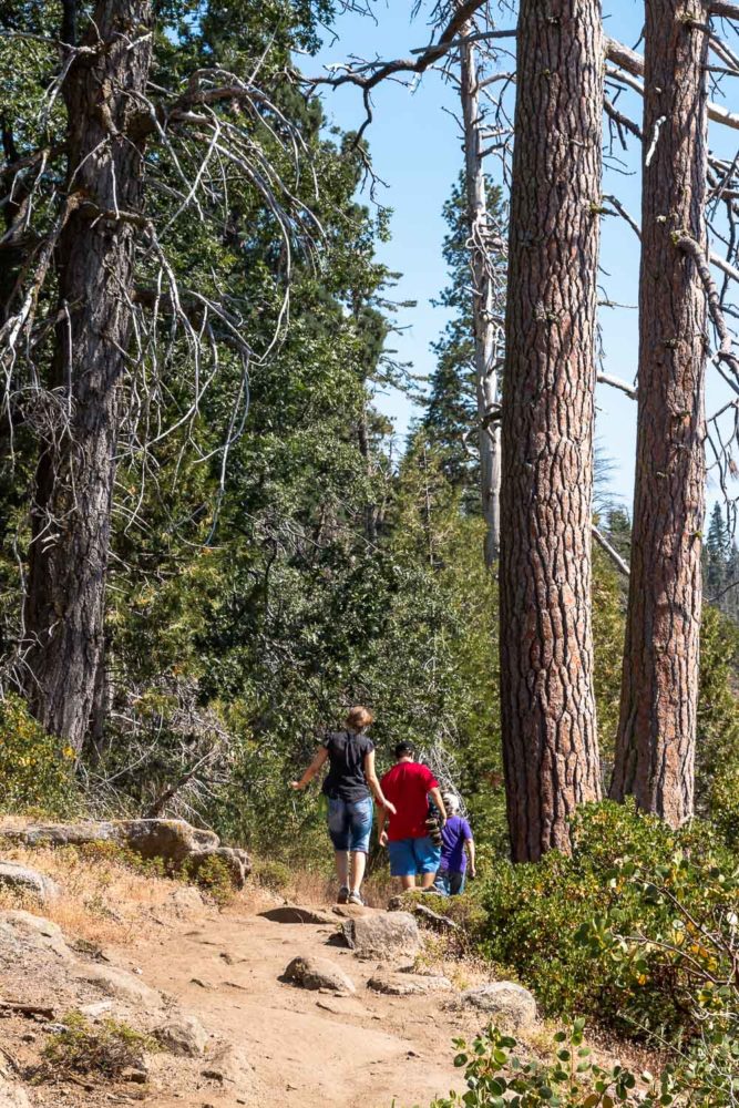
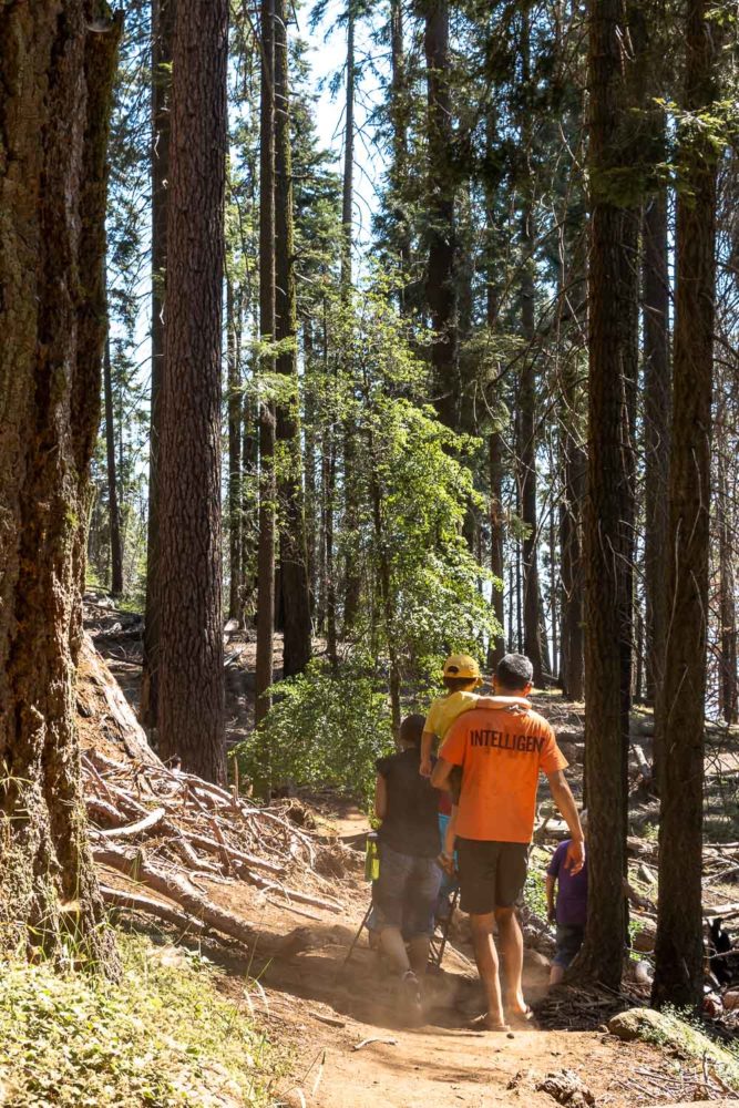
Gaining elevation, the path winds through the area with many fallen and dead trees. As the trail starts descending, you’ll find yourself in a lush sequoia grove. When the Moro Rock Trail meets a paved road, continue hiking to the left for another 0.2 mile until you reach the small parking area.
What to Pack
Although the entire Moro Rock Trail takes approximately 2-3 hours, you may still want to pack the following essentials.
- Good trail running shoes with non-slip sole. These come in handy when walking up the Moro Rock stairway.
- Sunscreen. You can get sunburned even in the shady areas created by the giant sequoias.
- Kleenex wet wipes. You may want to use them to clean your hands and shoes after hiking the Moro Rock Trail.
More Must-Do Hikes in California
- HIKE INTO A CRATER: Hiking Ubehebe Crater Trail in Death Valley National Park
- TALUS CAVE IN PINNACLES NP: Bear Gulch Cave and Rim Trails in Pinnacles NP
- BIG SUR’S MOST FAMOUS WATERFALL: Visiting McWay Falls in Big Sur
- HIKES IN JOSHUA TREE NP: Hiking Barker Dam: How, When, and Is It Worth It?
- LAVA TUBE HIKE IN NORTHERN CALIFORNIA: Subway Cave, a Lava Tube in Lassen National Forest
