One of the most beautiful coastlines in the world, the Central California Coast is more than just a scenic route. The Big Sur Drive astounds with a myriad of imposing California state parks, a profusion of unique sites, and countless outdoor activities that range from hiking, wildlife watching, and simply taking it all at your own pace.
Last updated: June 5, 2025
The Ultimate Guide to Visiting Big Sur
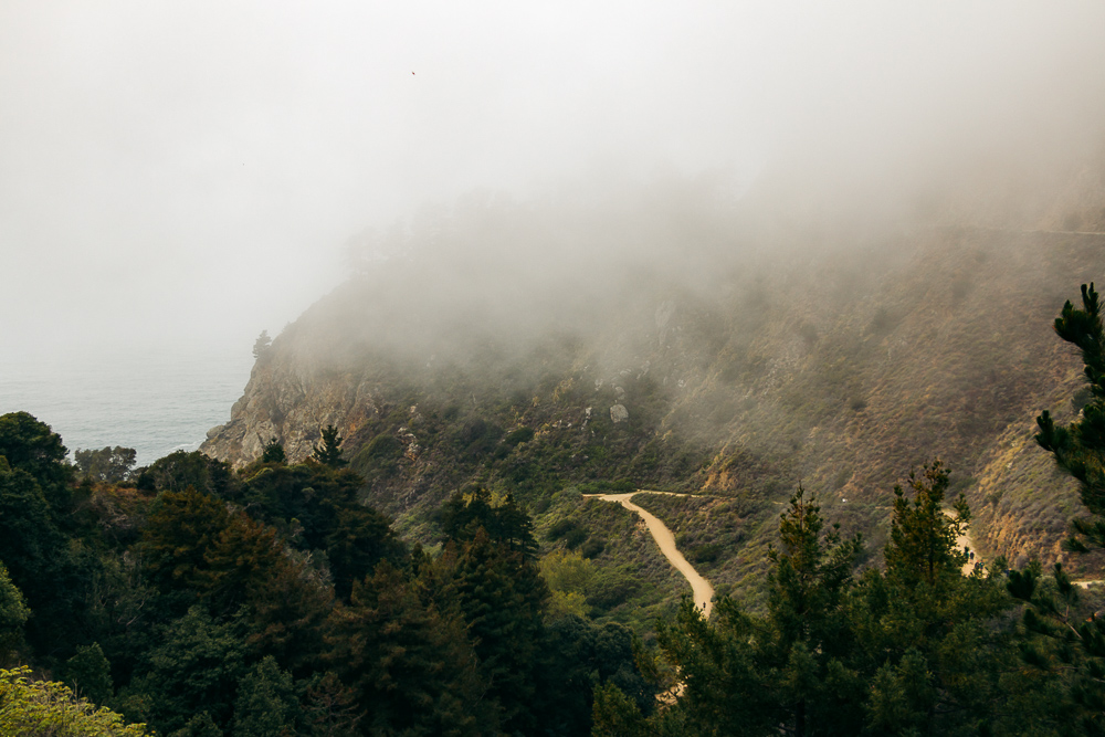
It hasn’t even been 4 years since we first visited Big Sur. In late February, barren of all its signature spring wildflowers, the area still bestowed on its visitors the most impeccable vistas paired with a few man-made structures. The famous Bixby Creek Bridge was one of them.
Like the majority of first-time visitors, we embraced the brilliance of the California coast that stretched from the sandy beaches of Malibu, passed through historic San Simeon and the 90-mile-long Big Sur area, and ran all the way to quintessential Carmel-by-the-Sea.
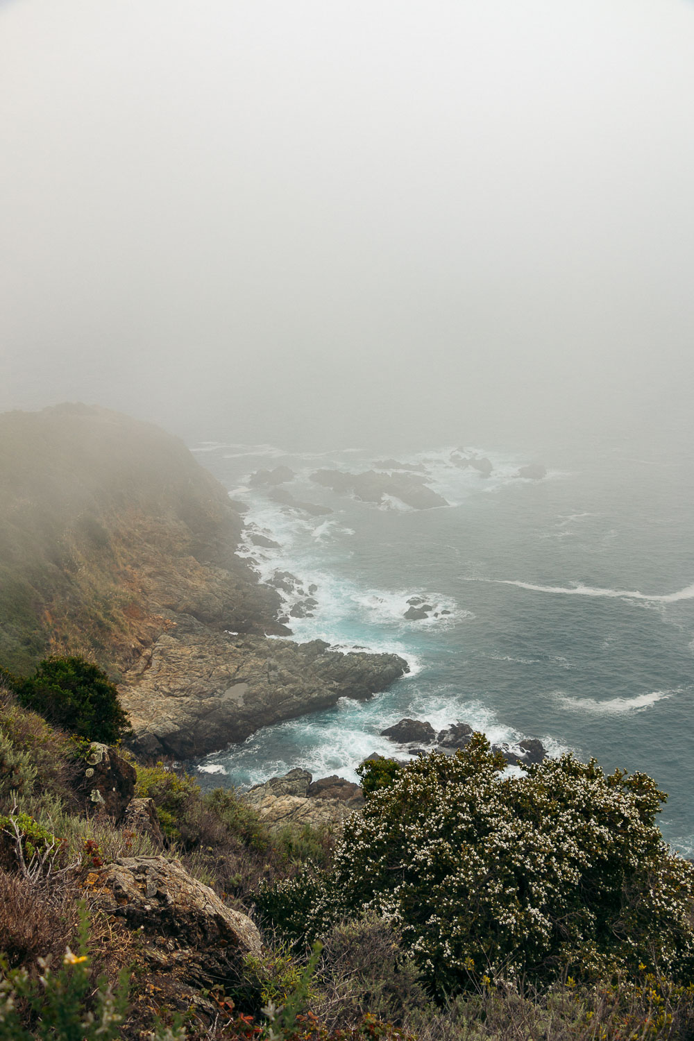
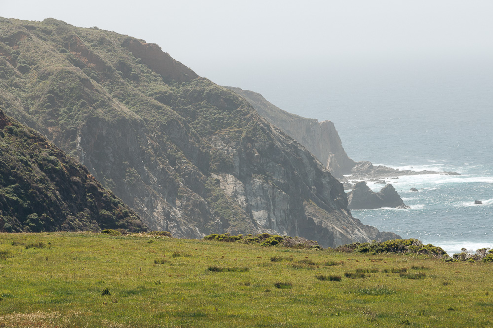
It took us the second try to recognize the whole magnitude of the North and Central Coasts of California. Consisting of several state parks, the Big Sur Drive area features some of the most beautiful places and offers some of the iconic views on the California coast.
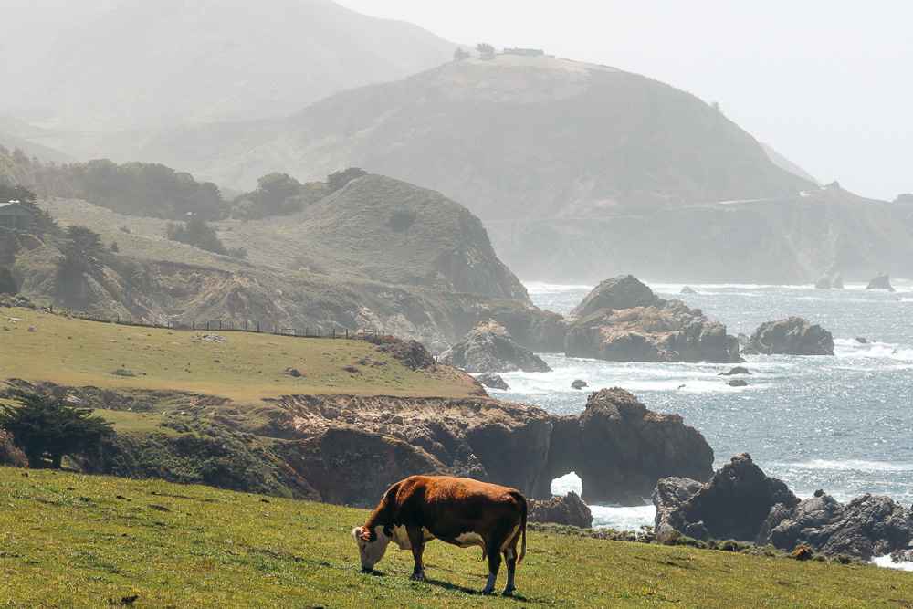
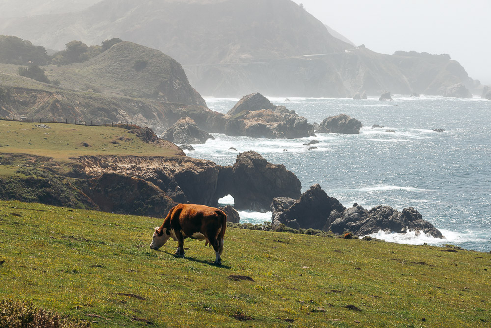
From far-stretching hills with grazing cows that you can’t figure out where they come from as there is no visible villages or ranches nearby to whirling trails that laze along the ragged coastline and often detour from their main trajectories to take the hikers to awe-inspiring beaches, the roadtrippers can’t get enough of these Big Sur’s visual surprises.
Those visitors that wish to get off the beaten path and dive deeper into the impeccable terrain of the Big Sur Drive region are in for even bigger discoveries. Without further ado, here are the best things to do and places to visit in the picture-perfect Big Sur area.
THE BEST THINGS TO DO AND PLACES TO VISIT ALONG BIG SUR DRIVE
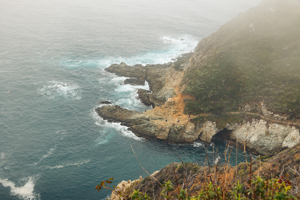
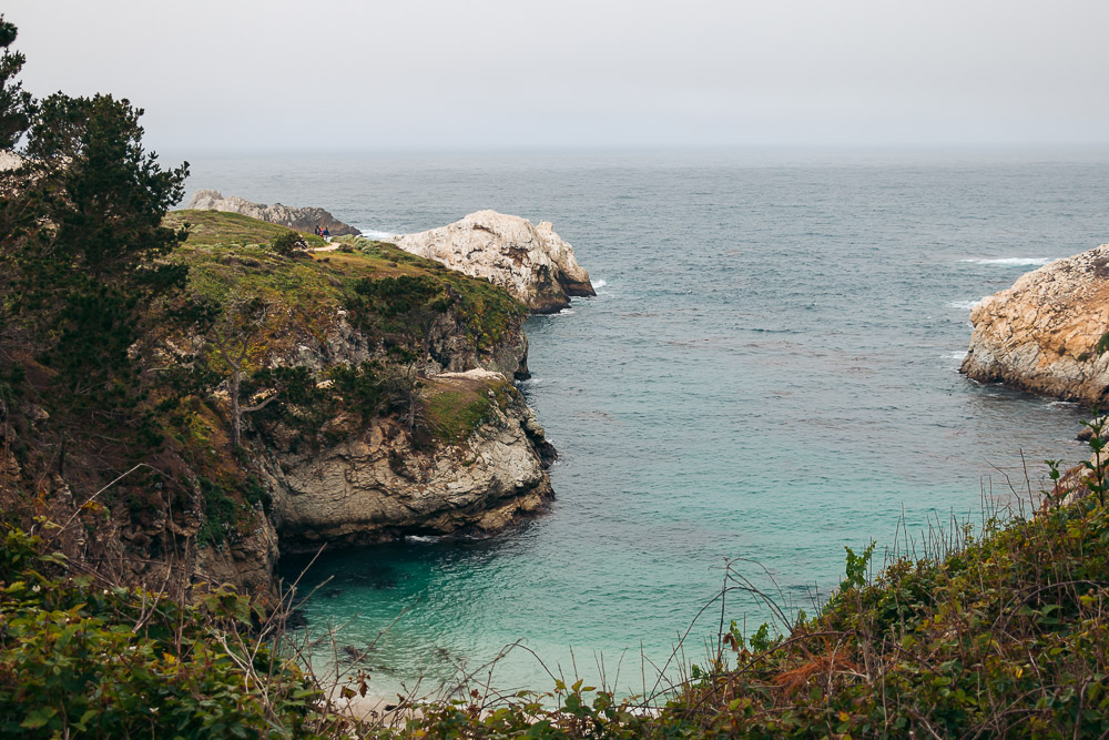
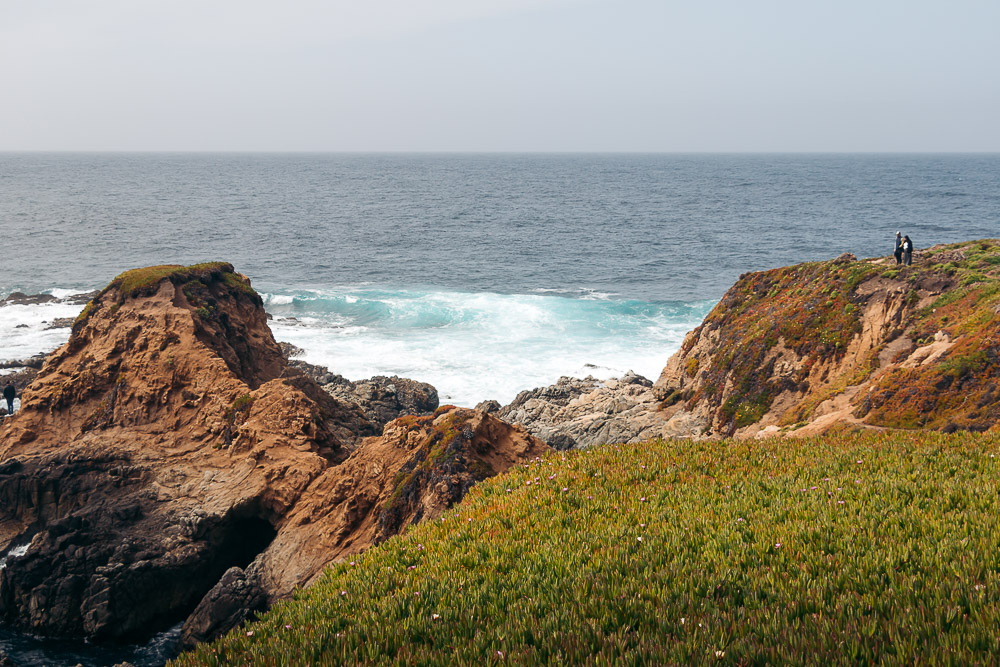
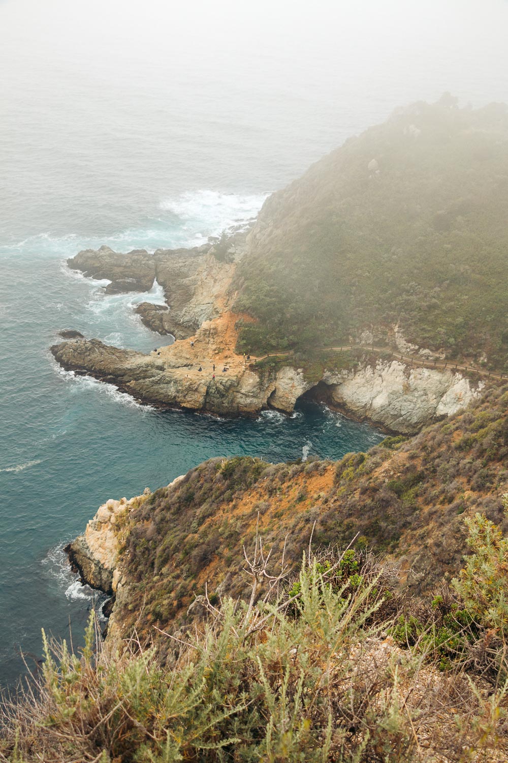
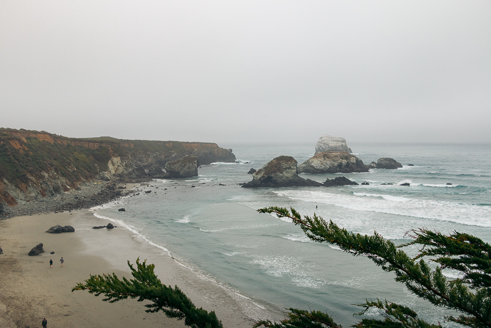
1. Point Lobos State Natural Reserve
The first state park you stumble upon while heading south of Carmel-by-the-Sea, the Point Lobos State Natural Reserve sets the bar high in terms of what the visitors of Big Sur can expect. Famous for its short, scenic trails and picturesque coves, the area boasts a plentitude of remarkable places to keep you in this section of Big Sur for a minimum a day.
We allotted just one day to all the landmarks Big Sur was about to entrust us with. Therefore, narrowing our interests and focusing on some of the most intriguing things and places was one of our biggest challenges in the park.
With that said, here are some of the trails we tramped along. Short but with the most welcoming twist, these places can certainly become the highlights of your entire trip along the Big Sur Drive.
Sand Hill Trail and Sea Lion Point
The 0.4-mile trail enhances your Big Sur adventures with remarkable opportunities to watch California wildlife. The trail is easy, with a few sporadic stairs. A small parking lot sits right at the trailhead, enabling you to explore the area in about 10 minutes.
- Distance: 0.4-mile trail
- Difficulty: Easy
- Time: 15-20 minutes
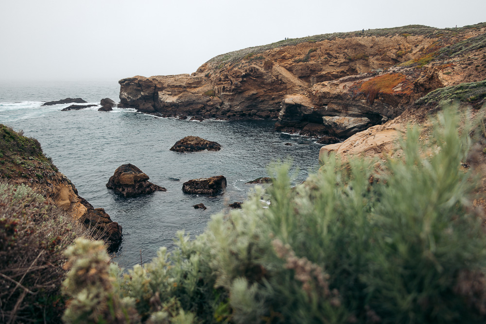
Bird Island Trail and China Cove
Clumsy on the land, sea lions seem to have a lot in common with visitors of Big Sur thirsty for beautiful vistas and secluded sites. Instead of basking in the sun at the main rookery near Sea Lion Point, some mothers take their pups to isolated China Cove.
This sandy beach with turquoise color waves crashing on it is the first sightseeing spot along the 0.8-mile Bird Island Trail.
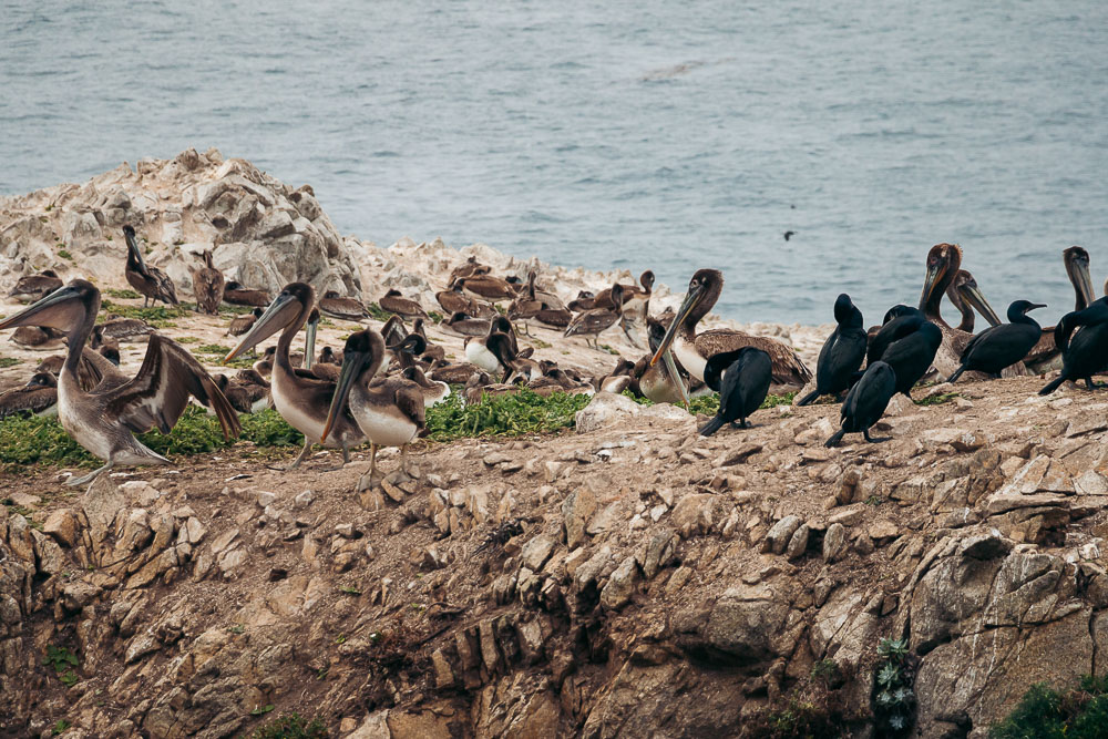
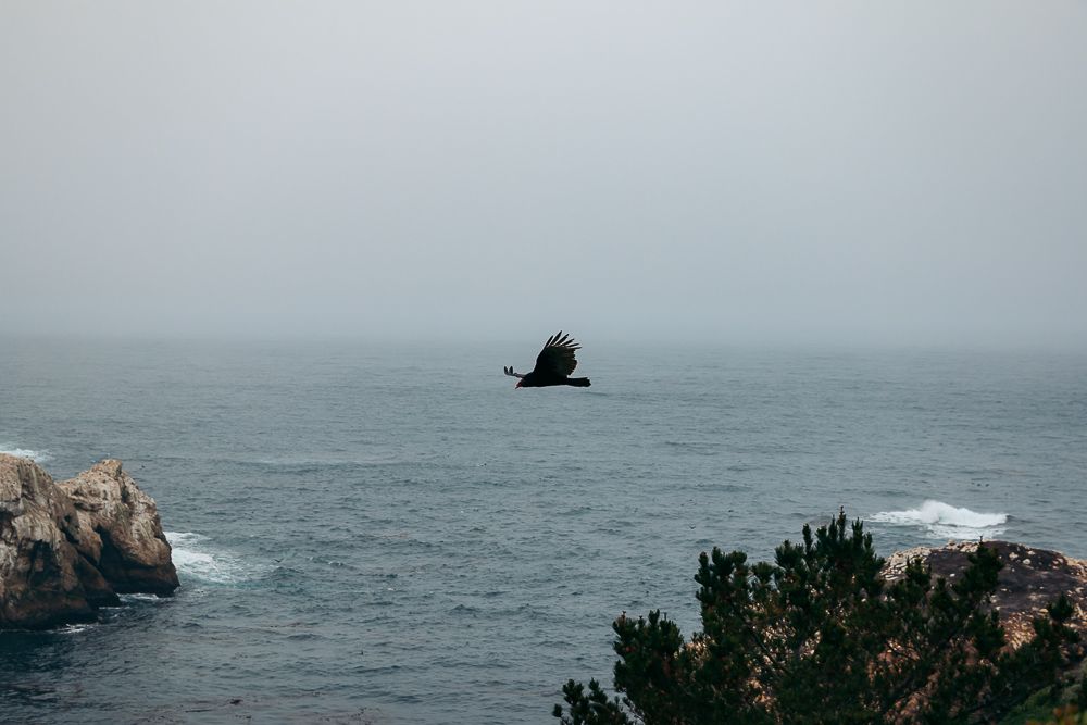
The second is a wooden deck. Located at the far end of the trail before it starts looping back, the overlook makes sure the visitors of Big Sur linger here a bit longer. Facing a few cliffs inhabited by pelicans, herons, and egrets, it provides the best views of the feathered members of the Big Sur’s wildlife family.
- Distance: 0.8-mile loop
- Difficulty: Easy
- Time: 25-30 minutes
Things to Know
Some state parks in Big Sur, including the Point Lobos State Natural Reserve, are paid areas. The entrance fee is $10 per vehicle. The ticket can be used to visit other California parks in the Big Sur area and other parts of the state within the same day.
TIP: Despite the small fee, the reserve never ceases to attract both locals and travelers. On weekends, when the influx of visitors is at its highest, this Big Sur area experiences major parking issues. If you fail to arrive around 8:00 a.m., when the park opens, be ready to look for a roadside pull-off along Highway 1 and walk to the Point Lobos State Natural Reserve.
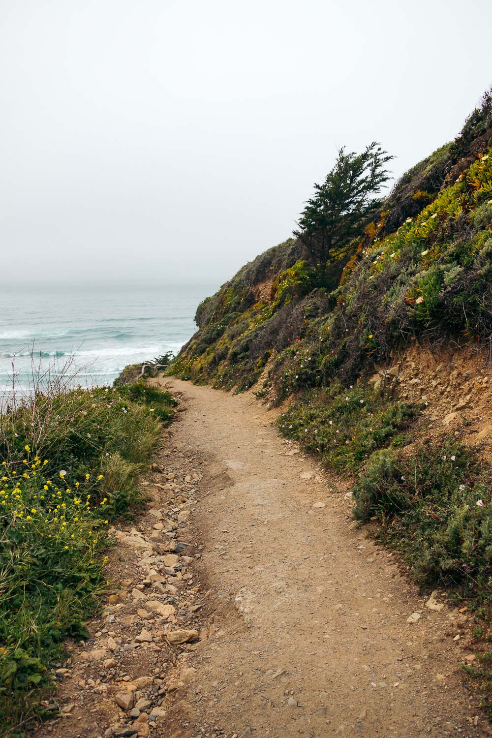
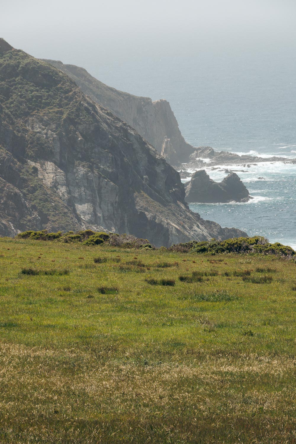
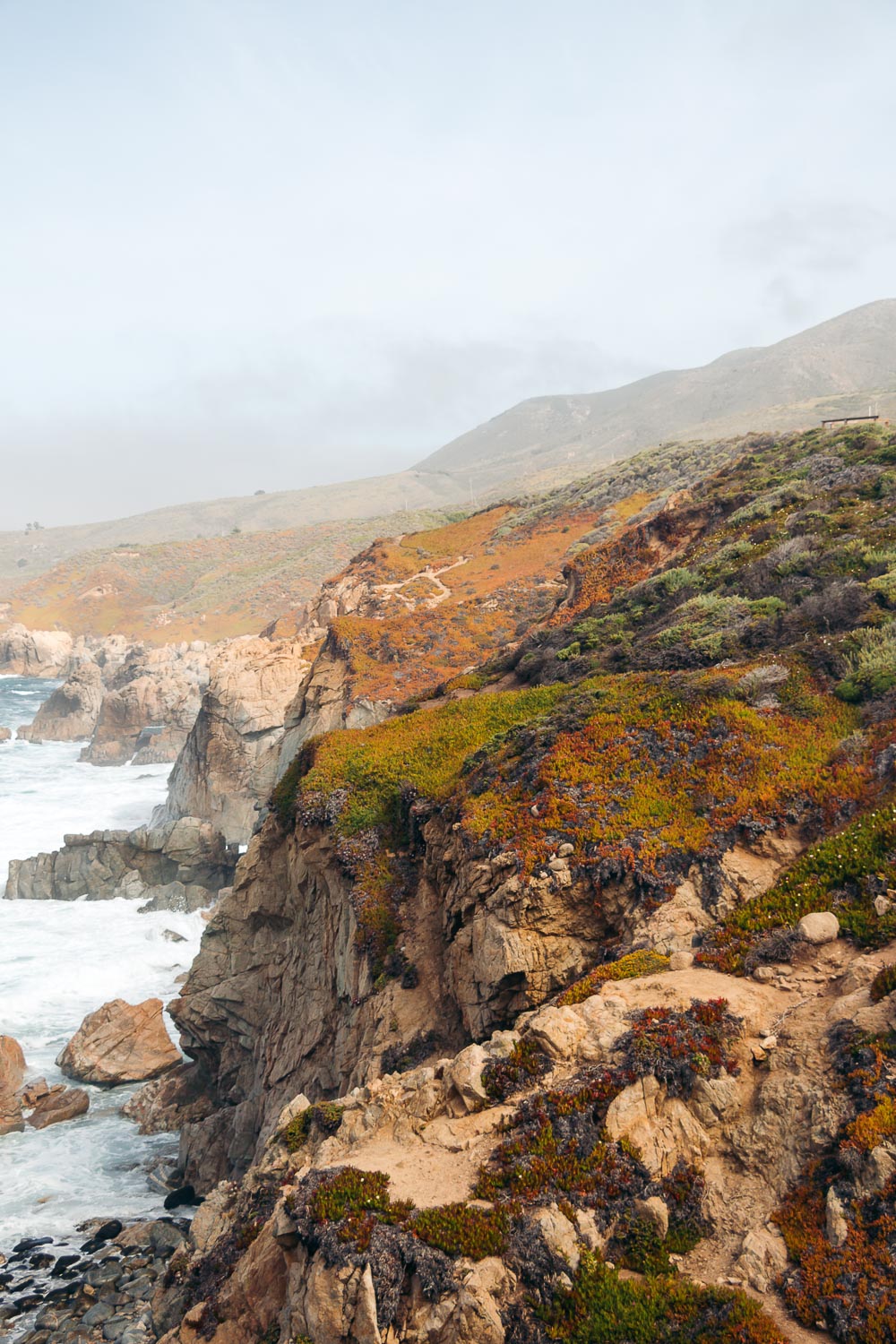
2. Garrapata State Park
There are many reasons to add Garrapata State Park to your Big Sur Drive itinerary. First, it’s jaw-dropping gorgeous. Second, no fee is applied here. Third, this rather secluded area of the coast sees far fewer visitors.
On the flip side, no official signs indicate the presence of the park. No trail markers point you in the exact direction where to start your hike.
As a result, the majority of the visitors of the Big Sur area drive by without realizing what they are missing out on. If you join the ranks of the minority and decide to explore this scenic stretch, there are some of the places you want to visit.
Soberanes Point and Whale Peak Trail
Although unmarked as the rest of the trails, the Soberanes Point and Whale Peak Trail is quite easy to find. The path is located between gates 8,9, and 10. Showcasing the picturesque cliffs and ragged coastline, the loop path runs for 2 miles. At one point, it snakes around Soberanes Point and later Whale Peak, two of the stunning landmarks in the northern corner of Big Sur.
- Distance: 2-mile loop
- Difficulty: Easy
- Time: 40-50 minutes
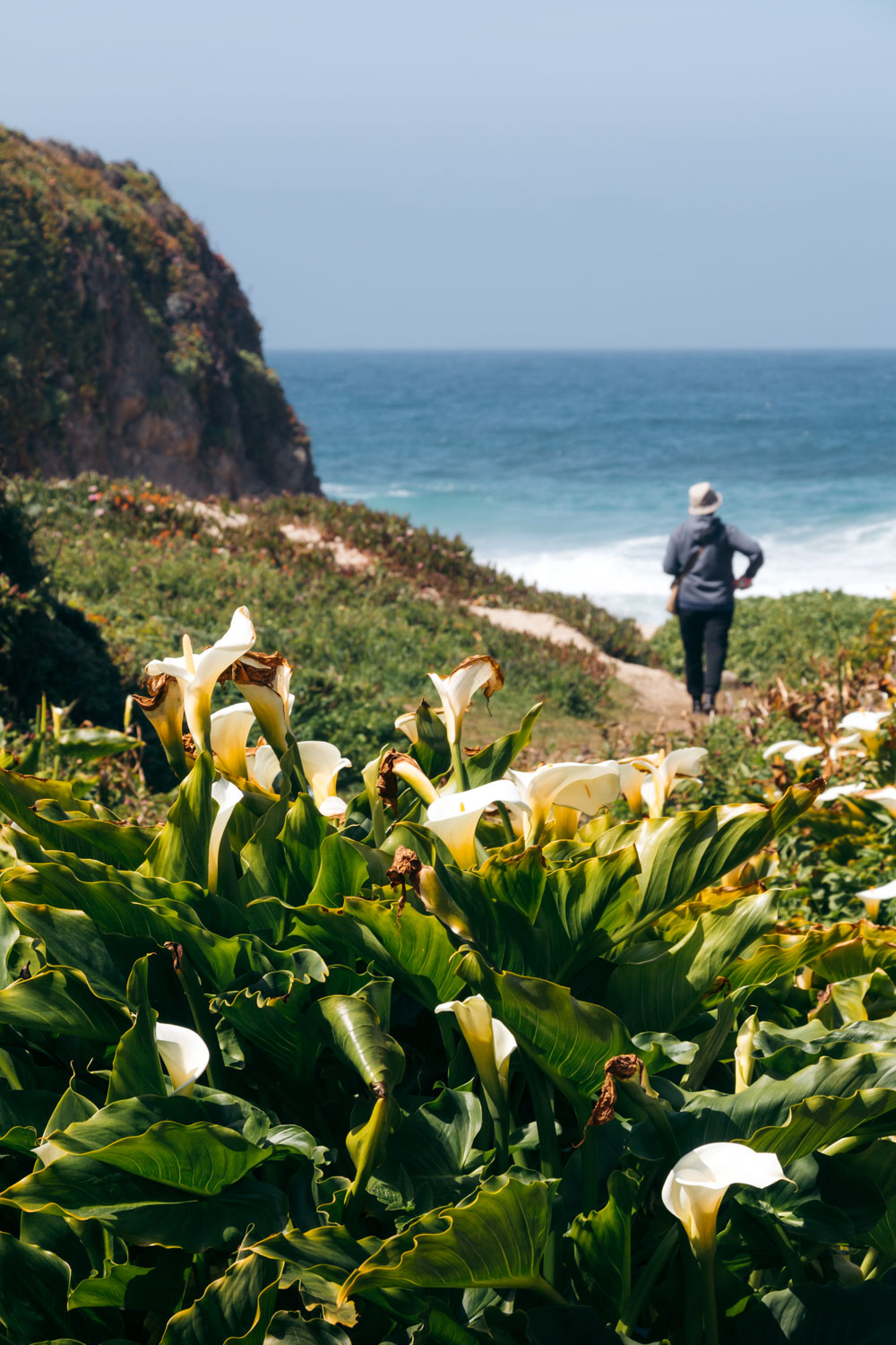
Calla Lily Valley
The tiny Calla Lily Valley neighbors a sandy beach with towering cliffs in the background. The area belongs to the shiest group of places to visit on the Central Coast of California.
Embraced by the lash bluffs from three sides, the Calla Lily Valley experiences solitude most of the year. From mid-February through April, however, this serene place turns into one of the most desired destinations along the Big Sur Drive. During this time, wild calla lilies spring from the ground, transforming the valley into a fairytale meadow.
Like most of the trails in Garrapata State Park, the Calla Lily Valley Trail or the Garrapata Trail is unmarked. The 0.5-mile, round-trip path sits along Highway 1, near mile marker 63 and gate 19.
- Distance: 0.5-mile, round-trip trail
- Difficulty: Easy
- Time: 15-20 minutes
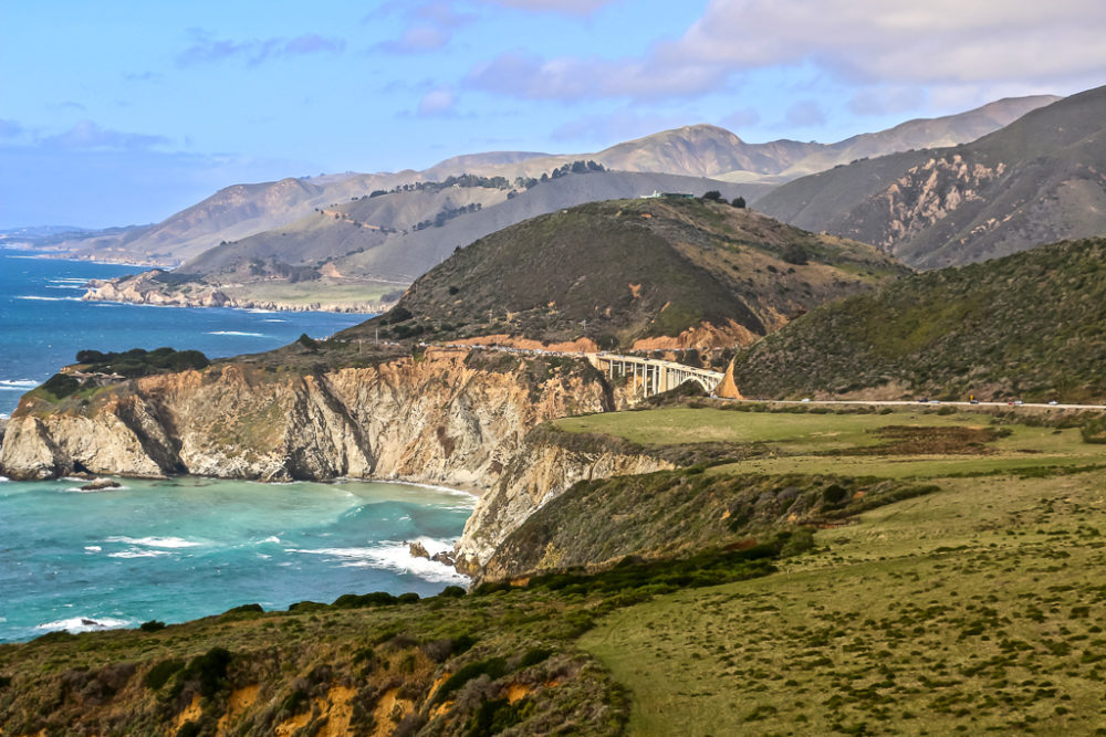
3. Bixby Creek Bridge
The world-famous Bixby Creek Bridge is a symbol of the Big Sur area. Nestled 6.5 miles south of Garrapata State Park, the majestic 260-foot-high structure harmoniously unites the natural splendor with human intervention.
The Bixby Creek Bridge was built in 1931-1932. Being a part of Highway 1, it’s one of a few places in Big Sur you drive through regardless of your intentions.
A number of observation points sit on both sides of the bridge, letting the roadtrippers to grasp the oozing opulence of the surroundings. The nearest viewpoints, however, always remind of beehives filled with hordes of Big Sur’s visitors, trying to take selfies with the famous bridge in the background.
TIP: Drive a little bit farther south or north, depending where you’re heading from. While the bridge looks smaller at any of these overlooks, the wild ocean waves on one side and the green hills on the opposite side complement the surroundings. Any pictures you take at these places will surely depict the dramatic beauty of Big Sur, inspiring you to visit the area again and again.
READ MORE: The 7 Most Photographed Places in Big Sur, CA
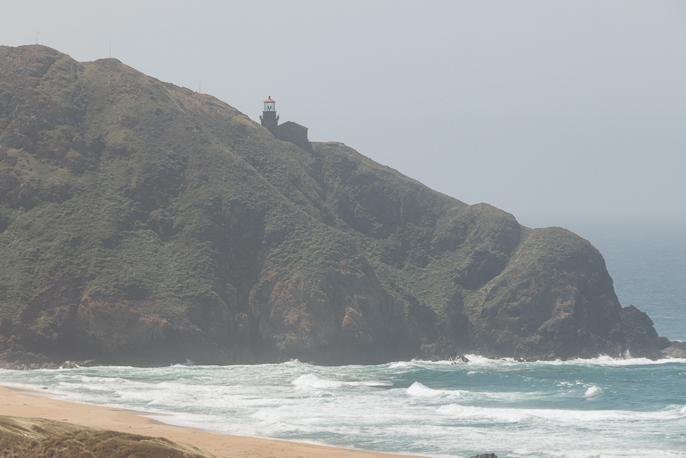
4. Point Sur Lighthouse
Set in Point Sur State Historic Park, the light station overlooks the ocean and the ragged coastline from the rack at the head of the point. The 40-foot-high structure has towered over the Big Sur coast, 270 feet above sea level, since 1889.
Once safely guiding boats and ships home, the Point Sur Lighthouse has changed its duties. Today it only talks about the past days of the area.
To visit this prominent member of the Big Sur family, you might want to book your tour in advance, although it’s not required. If stepping inside the narrow tower is not on your itinerary this time around, just keep your eyes peeled for the historic structure along Highway 1. It should be on your left if you head north to south along the Big Sur Drive.
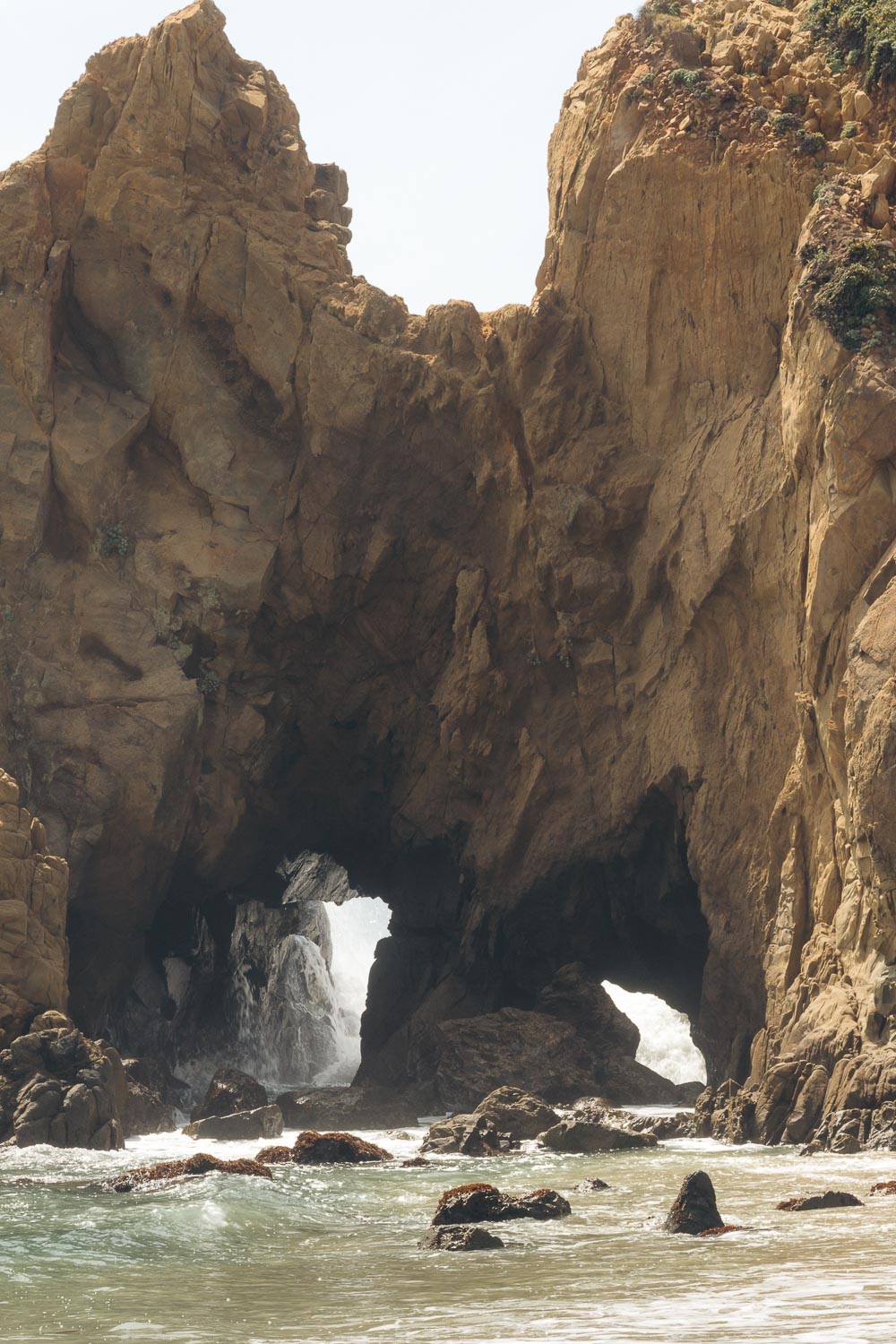
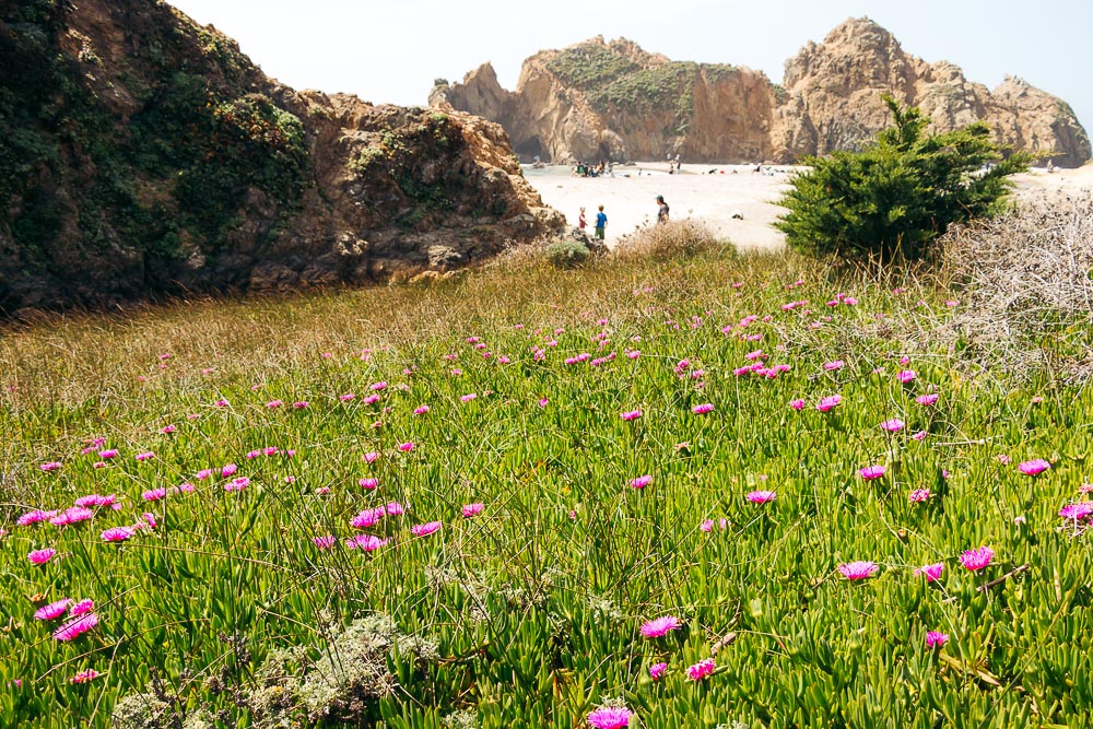
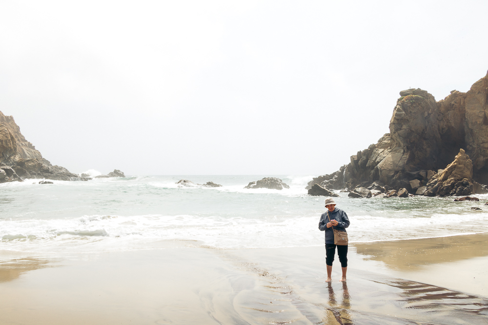
5. Pfeiffer Beach
Famous for its purple sand, Pfeiffer Beach has been on top of my list of places to visit in Big Sur for what seems like forever. Guarded by uniquely shaped cliffs, the beach sits within Los Padres National Forest. It’s a good 30-minute detour from Highway 1.
While the side road leading to the famous beach is not that long, it’s quite narrow. The thick forest approaches the route from the right and left. You, more than likely, need to pull off to let pass a car heading in the opposite direction.
But once on the beach, you may feel like it’s truly one of the must-visit places in Big Sur. I use the word “may” for a reason. If you are not lucky to be pampered by the California coastline, Pfeiffer Beach will surely take your breath away.
For Southern Californians spoiled by El Matador or Leo Carrillo Beaches, this Central California’s beach may not look that intriguing. Even the purple sand along a small stream that runs into the ocean can not be enough to go on such a detour to visit the beautiful, yet just another beach in the Big Sur area.

6. Julia Pfeiffer Burns State Park
As popular as Big Sur itself, Julia Pfeiffer Burns State Park allures you with its epic coastal coves, ragged terrain, and an array of opportunities to explore lesser-known places along the scenic drive. The panoramic park sits 12 miles south of Pfeiffer Big Sur State Park.
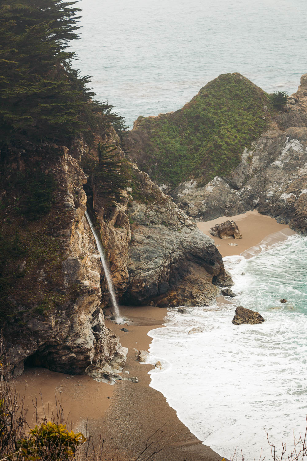
Apart from its untamed coastal beauty, the area is home to redwood forest. Some trees here are as old as 2,500 years. The main place that defines the southern splendor of Big Sur and attracts thousands of visitors is McWay Falls.
McWay Falls
The most photographed waterfall in the Big Sur area, McWay Falls drops over a cliff of 80 feet on a secluded beach. Surrounded by fortified bluffs, the cove looks like it comes straight from a fairytale. In essence, it is, since you can enjoy the picturesque beach with the plunge waterfall only from a distance.
Visiting, moreover, showering in the splashing mist in the southern section of the Big Sur Drive is not allowed. The beach that was created by a 1983 land slide is highly hazardous.
The 0.5-mile Waterfall Overlook Trail runs under the highway and takes you as close as you can only get to the elusive site. Any attempt to get past this point is discouraged and can get you a hefty fine.
- Distance: 0.5-mile, one-way trail
- Difficulty: Easy
- Time: 20-30 minutes
Partington Cove Trail
The 1-mile, round-trip Partington Cove Trail allows its visitors to reach the beach area of Big Sur. The trail splits near Partington Creek. The north fork approaches a rocky beach with rough surf. The south path runs through a historic tunnel to an overlook. Years ago this area was a loading dock for ships.
If you don’t feel like hiking downhill, admire the astounding cove from above. Find a proper pull-off, climb a short, roadside cliff, and peer into the mesmerizing brilliance below. These easy-to-reach vintage points and secluded places are what makes a trip along the Big Sur Drive an endless adventure.
- Distance: 0.5-mile, one-way trail
- Difficulty: Moderate
- Time: 40 minutes
7. Limekiln State Park
A paid state park nowadays, the Limekiln area provided most of Northern California with pure lime that was used in construction cement in the late 1880s. They say old buildings in San Francisco and Monterey still bear echoes of the now distant past of Limekiln State Park.
Certainly no lime harvesting is conducted in the Big Sur area today. The remains of the historic limekilns, however, still adorn the park. They, along with Limekiln Falls, were the biggest reasons for us to visit the southern Big Sur area.
As fate would have it, all trails except for a beach access were closed due to a recent fire. I only hope that next time we drive along the Big Sur coast, the area is more suitable for exploration.
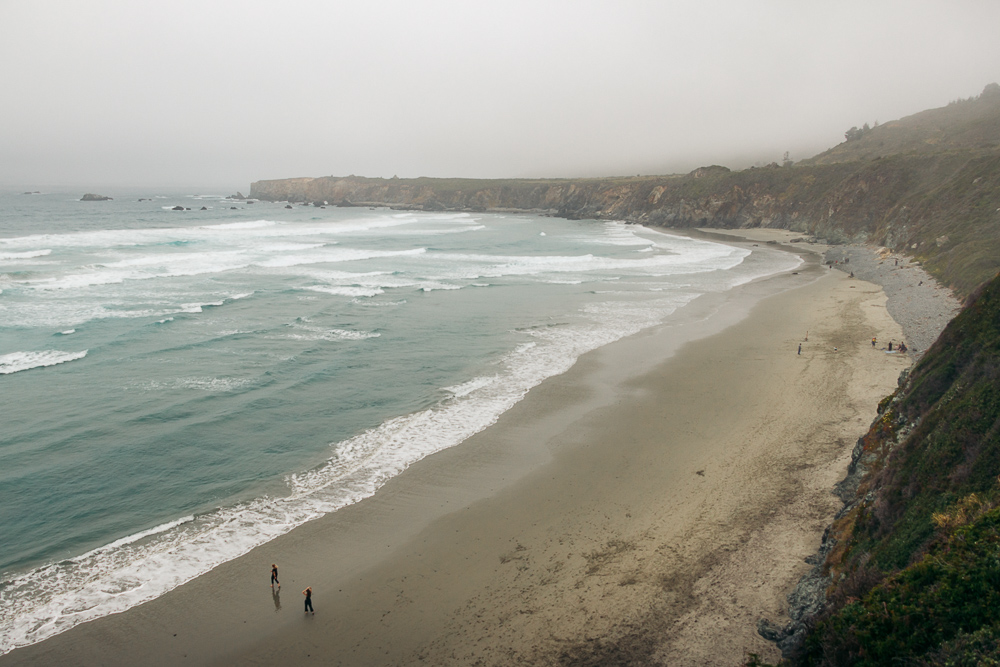
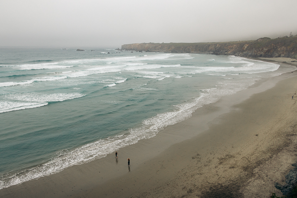
8. Sand Dollar Beach
The longest beach along the Big Sur coast, Sand Dollar Beach suits those visitors that don’t want to walk far to enjoy the natural splendor of the scenic drive. The place is especially popular with surfers. In spring, the cliffs above the crescent-shaped shoreline brighten up with yellow, orange, white, and red wildflowers.
But like most of the well-known beaches in the Big Sur region, Sand Dollar Beach is a paid area. To be exact, a large parking lot right in front of the beach requests a $10 payment. No state park tickets are accepted here.
TIP: If you want to save money, park outside the paid parking area and walk to the beach.
Big Sur Drive – The Best Places to Visit: Map
The Best Time to Visit Big Sur
You can visit the Big Sur area any time of the year. The region maintains moderate temperatures with practically no snow throughout the year. Spring is especially beautiful, when the vibrant wildflowers adorn the hills.
December is the rainiest season. Yet it’s also the most appropriate time for budget travelers that look for deals and special offers.
The most popular time to visit main state parks along the Big Sur Drive is from April through September.
How Long Does it Take to Drive through Big Sur?
Normally, you need two hours to drive between the northern to southern points of Big Sur. To see all the places and do at least a few hikes mentioned above, prepare to spend the whole day in the area. In an ideal world, you need at least two days to experience the natural splendor of one of the most beautiful drives in the world.
Where to Stay along the Big Sur Drive
Both gateways to Big Sur – Carmel-by-the-Sea and San Simeon – offer plenty of places to call it a day after exploring the scenic drive.
Carmel-by-the-Sea is a classic coastal town located at the northern end of Big Sur. Prices here are on the higher end of the spectrum, though. If you look for more affordable places to stay near the northern section of Big Sur, consider driving to Salinas. The place is located about 22 miles northeast of Carmel-by-the-Sea.
San Simeon is a southern gateway to Big Sur with fewer accommodation options that suit travelers with different budgets.